local attractions and activities

Kruger Lowveld Region

& Panorama Route

The Kruger Lowveld Ehlanzeni region of Mpumalanga and the Panorama Route is a world rich with possibilities and filled with beautiful attractions and exciting activities for young and old. 
KatiKati Eco Lodge is situated ideally between the Kruger Lowveld and the Panorama Route, which makes it the perfect place to stay at and do day trips from to the numerous breathtaking attractions and enjoy the exciting activities on offer.

Kruger National Park

This world-renowned national park is less than an hour's drive from KatiKati.  Order a picnic basket or bring your own along and enjoy a self-drive day trip to this magical place and see the animals and birds in their natural habitat.  Alternatively, book a guided tour with a professional safari company and learn more than you ever thought possible from your informed and knowledgeable guide for the day. 

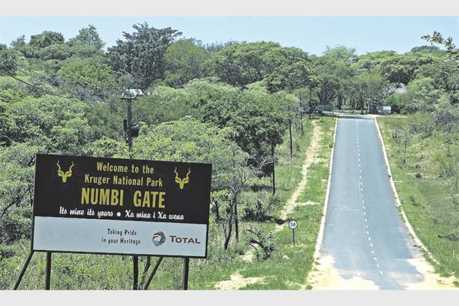
Numbi Gate

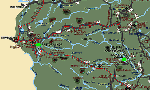
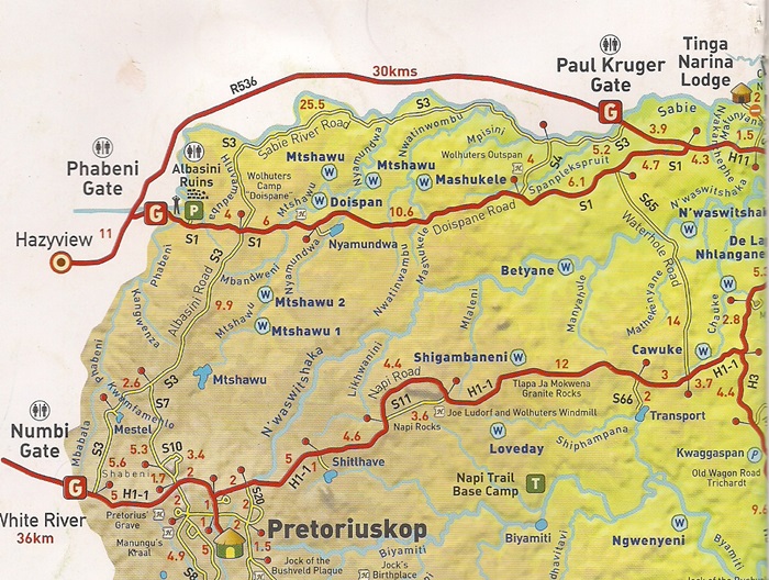
It is 42 km and about 50 minutes' drive to this entrance to the Kruger Park. 

A daily fee per person as well as a vehicle entrance is charged.  Be sure to bring along your ID or passport.  It is essential to make a booking - even for a day trip - to ensure you don't have to wait in long lines and risking the possibility of not being able to enter the park.

Around Pretoriuskop

When the world was still young, some 3 500 million years ago, molten rock forced its way through the earth's crust and solidified to form the spectacular granite outcrops where this camp is now nestled.  The impressive granite dome known as “Shabeni Hill” is not far from here and it is immediately apparent to any visitor that Pretoriuskop is unique as brilliant red trees adorn the camp, pre-dating the decision to make exclusive use of indigenous plants in laying out rest camp gardens. Nostalgia prompted an exception to the rule for the KNP's oldest rest camp, and these exotic flowering plants were allowed to stay, enhancing the strong sense of the past that is so pervasive.

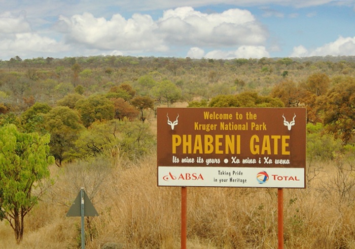
Phabeni Gate

It is 70 km and just over 1 hours' drive to this entrance to the Kruger Park.   

A daily fee per person as well as a vehicle entrance is charged.  Be sure to bring along your ID or passport.  It is essential to make a booking - even for a day trip - to ensure you don't have to wait in long lines and risking the possibility of not being able to enter the park.

Around Skukuza

Skukuza is the Kruger National Park's largest rest camp and administrative headquarters.  It is situated on the southern banks of the Sabie River. The camp is well foliaged and there are some lofty trees along the river’s edge. Activities and facilities are diverse, as are the animals and plants found both within the camp and in the surrounding areas.

The Panorama Route

This scenic road connects several cultural and natural points of interest. The route, steeped in history, is in Mpumalanga province, centered around the Blyde River Canyon, the world's third largest canyon. It features numerous waterfalls, one of the largest afforested areas in South Africa, and several natural landmarks.
The route starts at the foot of the Long Tom Pass, following the natural descent from the Great Escarpment to the Lowveld and ending at the border of the Mpumalanga province, near the Echo Caves.

Blyde River Canyon

The Blyde River Canyon is a 26km long canyon and one of the larger canyons on earth, even though it is much smaller than those of Asia, the Grand Canyon and the Fish River Canyon. Unlike the others, the Blyde River Canyon is a "green canyon" which is dominated by subtropical vegetation. The canyon forms part of the Blyde River Canyon Nature Reserve.

It is part of the 29 000ha Blyde River Canyon Nature Reserve is carved out of nearly 2,5 km of red sandstone. Also known as the Motlatse Canyon, it is situated below the confluence of the Blyde ('joy') and Treur ('sorrow') rivers. 

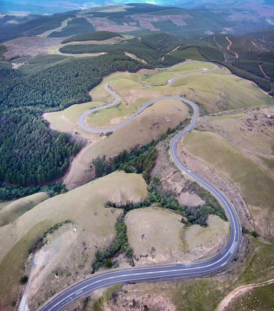
Long Tom Pass

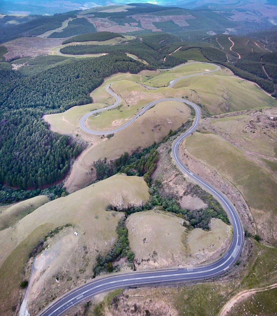
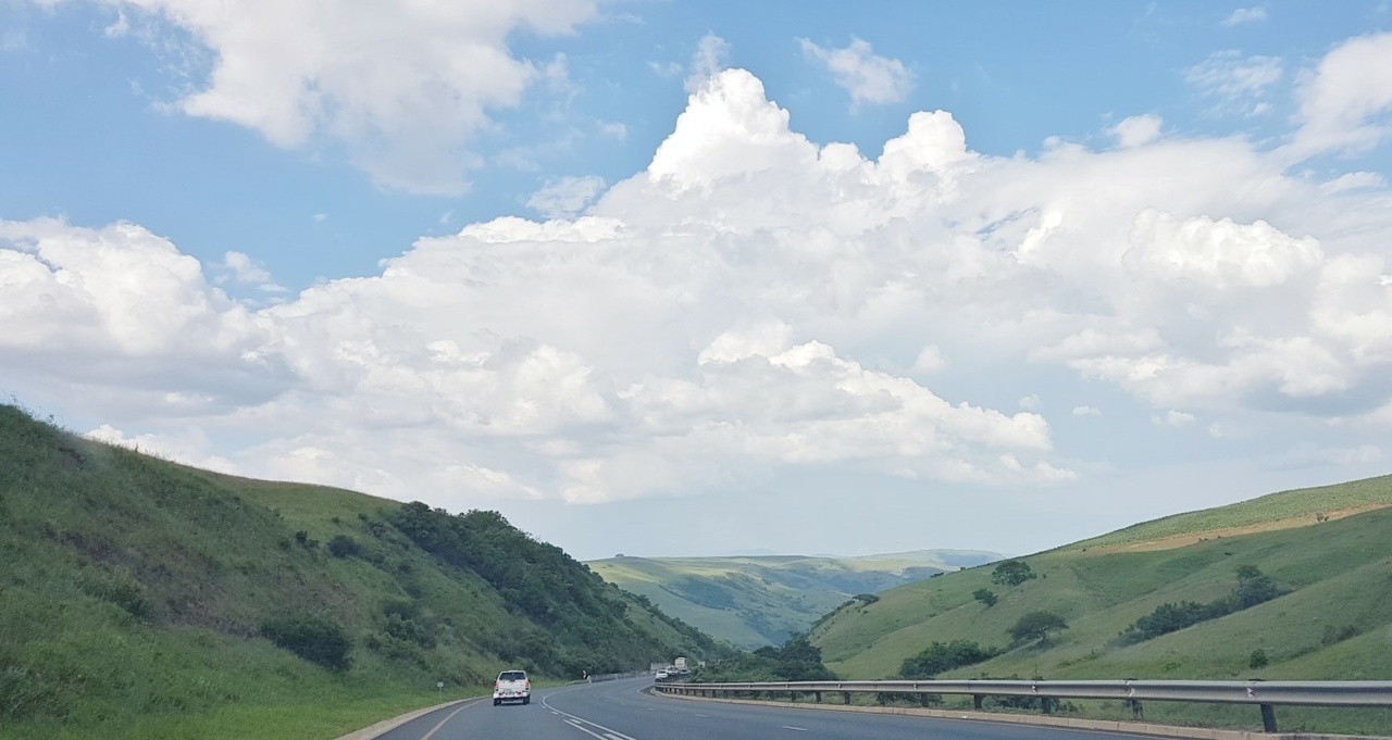
The Long Tom Pass is a mountain pass on the Great Escarpment situated on the R37 regional route between Lydenburg and Sabie.  It was named after the Long Tom cannon.

The route up Long Tom Pass starts at 1456 m and climbs 682 vertical metres to an altitude of 2138 m at its end. The summit of the pass lies at an altitude of 2150m. The pass is part of the Mpumalanga Panorama Route and carries appropriately heavy traffic both tourist and commercial. The pass is prone to heavy mist and can be dangerous in low visibility conditions.

A monument commemorating the last use of the Boer 155 mm Creusot Long Tom guns during the Second Boer War is located in the pass, about 21 km from Sabie.

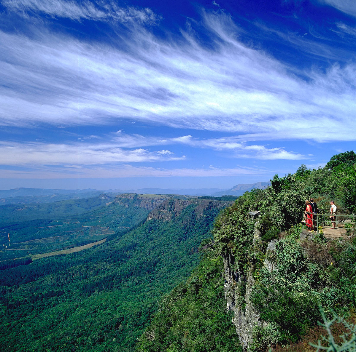
God's Window

God's Window is a popular vantage point along the Drakensberg escarpment, at the southern extremity of the Nature Reserve.

Here, sheer cliffs plunge over 700 metres to the Lowveld. From this escarpment—a mostly unbroken rampart of cliffs—opens a vista into the Lowveld expanse and escarpment forests, the Eden-like aesthetic appearance of which prompted the name.  On a clear day it is possible to see over the Kruger National Park towards the Lebombo Mountains on the border with Mozambique.

The original Window is a rock that is set further back on a private farm and due to quarry operations and tree plantation farming, this actual rock that looks like a square window could not be used. The site was moved by the government to the edge of the escarpment.

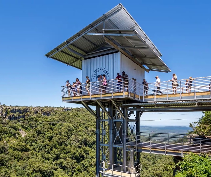
Graskop Gorge & Lift

The Graskop Gorge Lift Company is centrally located on the Panorama Route. While it is an ideal stopover point, it is also an end destination in its own right, with lots to do on-site and in the area. Most areas are wheelchair and pram friendly.

The lift:  The viewing lift takes visitors 51m down the face of the gorge into the indegenous forest below.

The forest:  Enjoy a walk with the family in our Afromontane forest, where a trail of elevated walkways and suspension bridges await.

Zipline:  The zipline gives a bird's-eye view of the gorge.

Big swing:  The big swing is all about adrenaline.  Freefall 70m into the forest in under 3 seconds.

Suspension bridge:  Hold your breath and venture across the 52m suspension bridge, 70m above the gorge.

Bourke's Luck Potholes

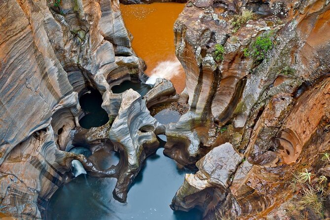
This geological feature and day visitors' attraction, named after prospector Bernard Thomas Bourke (brother of Eddie Bourke), is situated at the confluence of the Treur and Blyde Rivers, on the reserve's western boundary. The reserve's nature conservation headquarters is located here, beside the village of Moremela, at the canyon's southern, or upper reaches. Bourke's Luck Potholes marks the beginning of the Blyde River Canyon.

Sustained kolks in the Treur River's plunge pools have eroded a number of cylindrical potholes or giant's kettles, which can be viewed from the crags above. It was named after a local prospector, Tom Bourke, who predicted the presence of gold, though he found none himself. The pedestrian bridges connect the various overlooks of the potholes and the gorge downstream.

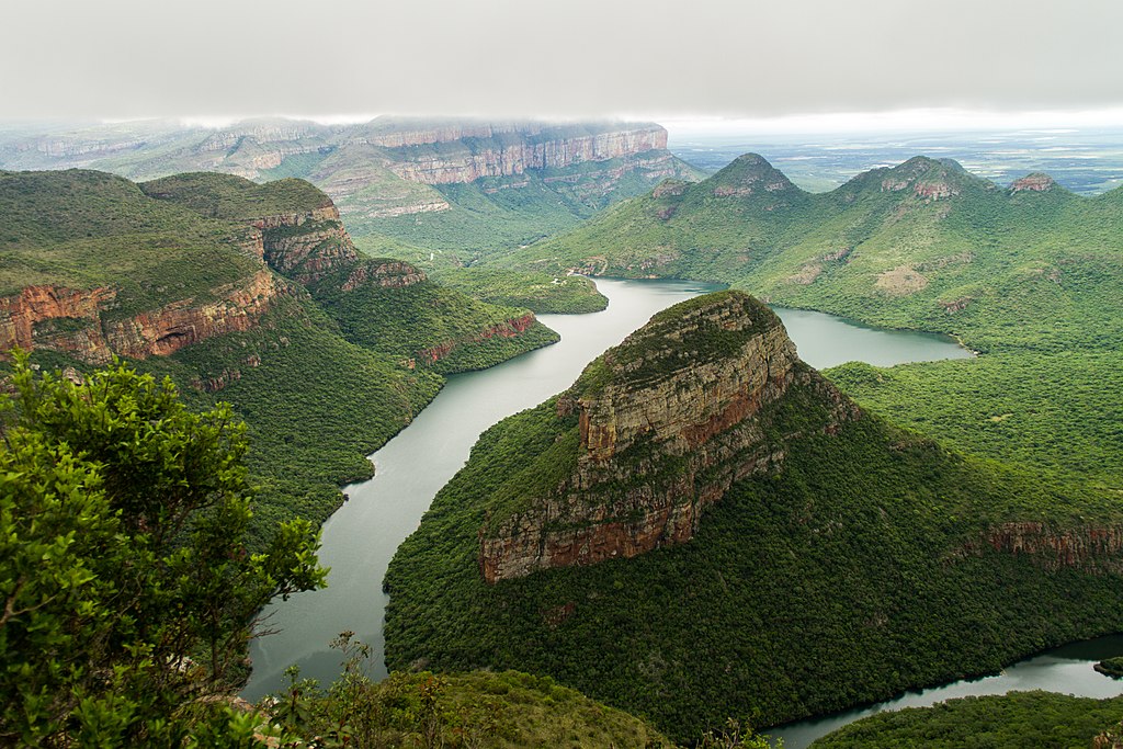
Three Rondavels

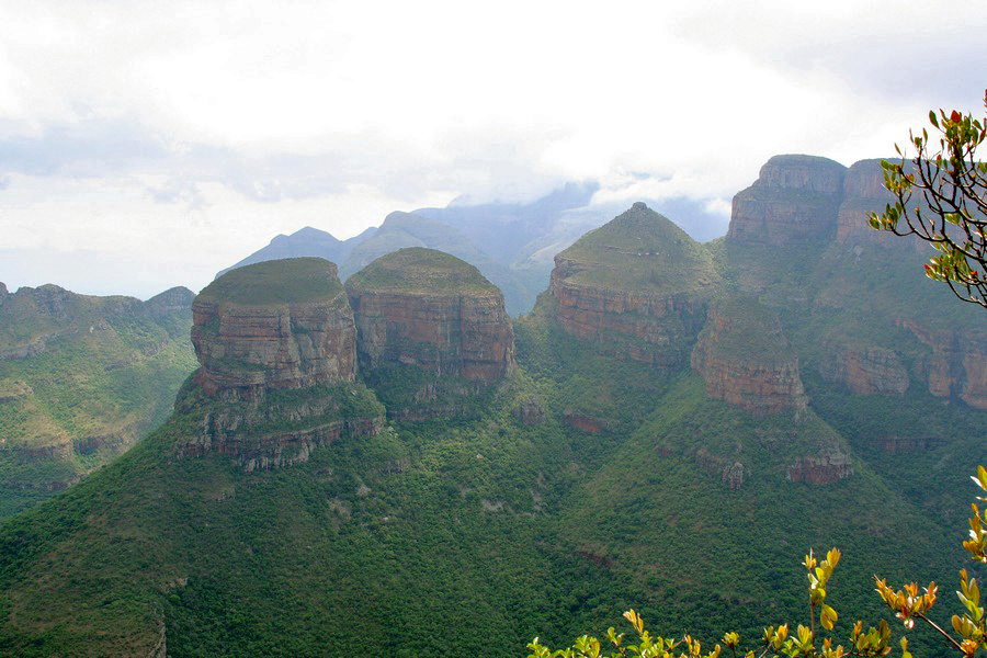
The Three Rondavels are three round, grass-covered mountain tops with somewhat pointed peaks. They quite closely resemble the traditional round or oval rondavels or African homesteads, which are made with local materials.

The names of the peaks commemorate a 19th-century chief, Maripi, and three of his wives. The flat-topped peak adjacent to the rondavels is Mapjaneng, "the chief", who is remembered for opposing invading Swazis in a memorable battle. The three rondavels are named for three of his more troublesome wives – Magabolle, Mogoladikwe and Maseroto. Behind the rondavels the distant high plateau of Mariepskop may be visible. Beside the dam, the isolated Thabaneng hill is known as the "sundial" or "mountain with a shadow that moves". It is said that the position of its shadow indicates the time of day.

The formation of the attractive sedimentary formations are explained geologically as the slow erosion of underlying soft stone, leaving exposed the more resistant quartzite and shale that form the rondavels.

Echo Caves

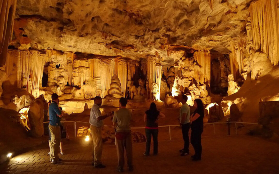
These caves are set in Precambrian dolomite rock, which was first laid down about 3800 million years ago, when Africa was still part of Gondwana. The caves are considered some of the oldest in the world. The Echo Caves are situated on the farm Klipfonteingrot, some 92 km north of the similar Sudwala Caves.

There are a number of speleothem structures in the cave; two of these are hollow stalactites which when hammered create echoes audible throughout and even outside the caves, thus the name of the caves. The caves are over 40 km long; regular tours are available for about 2 km of the tunnels and chambers.

The caves were used for shelter in recent centuries by the Pedi people; they slept in what is now called the Samson chamber (due to the limestone columns which appear to hold the low roof of the cave up).

Pilgrim's Rest

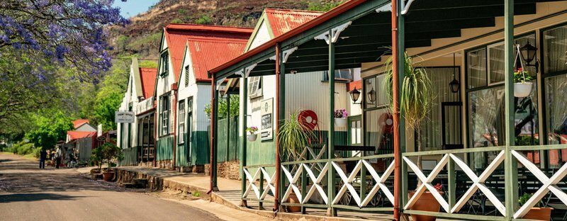
Pilgrim’s Rest is a small museum town which is protected as a provincial heritage site. It was the second of the Transvaal gold fields, attracting a rush of prospectors in 1873, soon after the Mac-Mac diggings started some 5 kilometers away.  Alluvial panning eventually gave way to deeper ore mining. In the 1970s the town, not greatly changed, became a tourist destination.

The alluvial gold was discovered by prospector Alec Patterson. He panned Pilgrim's Creek, as it became known, when the nearby Mac-Mac diggings became too crowded. He kept his find a secret, but a gold rush resulted when fellow prospector William Trafford registered his claim with the Gold Commissioner at MacMac. After it was officially declared a gold field in September 1873, the town suddenly grew to 1,500 inhabitants searching for alluvial gold.

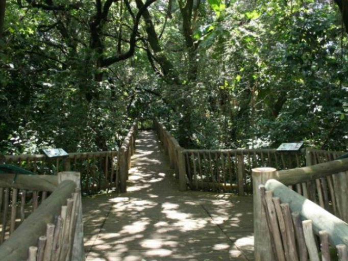
Botanical Gardens

The character of the Garden is shaped by the two main rivers that cut across it, namely the Crocodile and Nels Rivers. Before these two rivers converge in the Garden, they form spectacular waterfalls which can be viewed at the Cascades and the Nels viewpoints.

SANBI’s Conservation Gardens & Tourism Division manages SANBI’s network of National Botanical and Zoological Gardens, each with their associated tourism infrastructure and conservation estate, and Interpretation Section. ‘Conservation Gardens’ is the international term for botanical gardens that include both landscaped and natural areas within their boundaries.

Chimp Eden

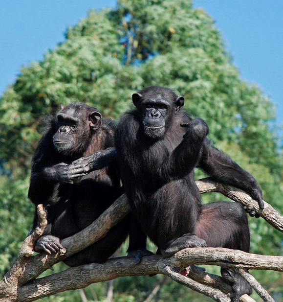
Situated within the beautiful 1,000 ha Umhloti Nature Reserve, 15 km outside Nelspruit, the Jane Goodall Institute (JGI) South Africa Chimpanzee Sanctuary is home to chimps that have been misplaced from their natural habitats in Africa.

Chimp Eden was established in 2006 and is the first and only chimpanzee sanctuary in South Africa.  This JGI chimpanzee sanctuary brings the world of chimpanzees closer to humanity through education end eco-tourism.  

The chimpanzee (Pan Troglodytes) is considered to be the closest relative to humans and is “Endangered’ under a strict application of the IUCN Red List Criteria and is listed in CITES.  Chimpanzees in the wild may be extinct within the next 10 - 20 years if current trends cannot be reversed.

There are currently three different chimp groups and enclosures at the South African sanctuary.  There are viewpoints overlooking the forest and “foraging areas’ from which visitors and volunteers can observe and study the chimpanzees.

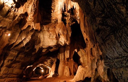
Sudwala Caves

The Sudwala Caves are part of the Malmani Dolomite Ridge, in turn part of the Drakensberg escarpment, near Nelspruit. They are solutional caves – that is to say they were formed by natural acid in groundwater seeping through faults and joins, and dissolving rock. This most often occurs when the rock is dolomite rock and/or limestone.  The Sudwala Caves are formed in both: mostly in dolomite rock, as well as erid, shale, conglomerate, chert and limestone.

Crystal Tour:  Embark on an epic underground adventure that takes you 2000m into the heart of the caves to the crystal chamber with its amazing array of sparkling aragonite crystals.

A specialized tour for the adventurous, an organized excursion that involves wading through water, crystal-tour scrambling up and down rocks and crawling through small tunnels leaving you wet and dirty but awestruck by the splendor and beauty of the crystals that surround you in the chamber.

The Sudwala zip line:  The perfect adventure for anyone searching for the ultimate family friendly adrenaline rush.

Your adventure begins 150 meters above the Houtbosloop valley in the Mankele mountain range.

Sudwala Butterfly Effect Nature Garden has been developed as part of a long term conservation project to provide host plants and flowers specifically aimed at increasing our local butterfly, bee and antelope populations.
Butterfly and bee numbers have declined dramaticly in recent years due to an increase in agricultural activity, pesticides and habitat loss.

This project aims to educate and bring people and nature together.
Makhonjwa Geotrail

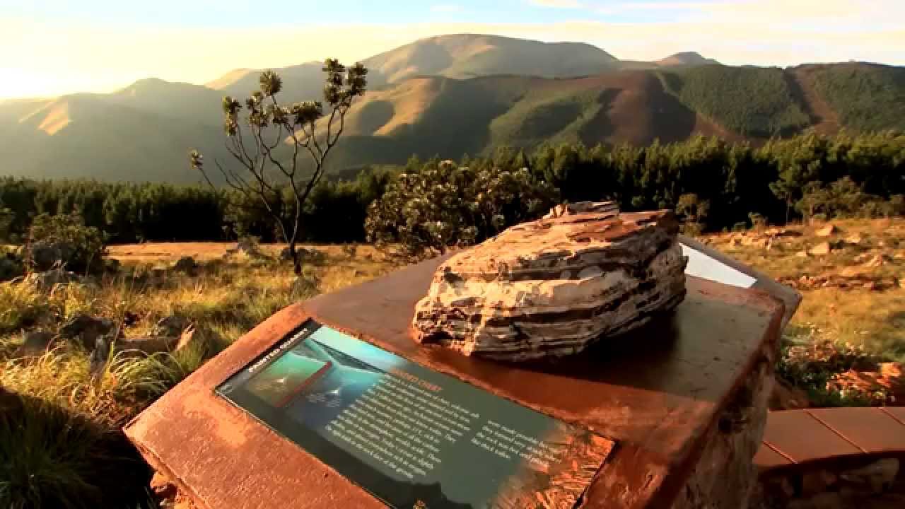
The Barberton Makhonjwa Mountains are a range of small mountains and hills that covers an area of 120 by 60 km, about 80% in Mpumalanga, a province of South Africa, and the remainder in neighbouring Eswatini. It constitutes 40% of the Barberton Greenstone Belt.
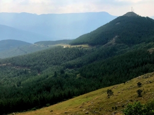
The mountains lie on the eastern edge of the Kaapvaal Craton. The range is best known for having some of the oldest exposed rocks on Earth, estimated to be between 3.2 and 3.6 billion years (Ga) old, dating from the Paleoarchean. The mountain range's extreme age and exceptional preservation have yielded some of the oldest undisputed signs of life on Earth and provide insight into the hostile nature of the Precambrian environment under which this life evolved. This has led to the area being otherwise known as the "Genesis of life".

The range is also known for its gold deposits and a number of komatiites, an unusual type of ultramafic volcanic rock named after the Komati River that flows through the belt.

In April 2014, scientists reported finding evidence of the largest terrestrial meteor impact event to date near the area. They estimated the impact occurred about 3.26 billion years ago and that the impactor was approximately between 37 and 58 kilometers wide. The crater from this event, if it still exists, has not yet been found. In May 2019, extraterrestrial organic materials in 3.3-billion-year-old volcanic rocks was found at the Makhonjwa Mountains.

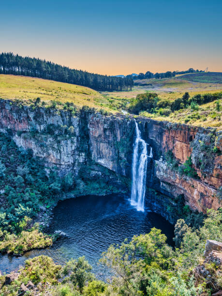
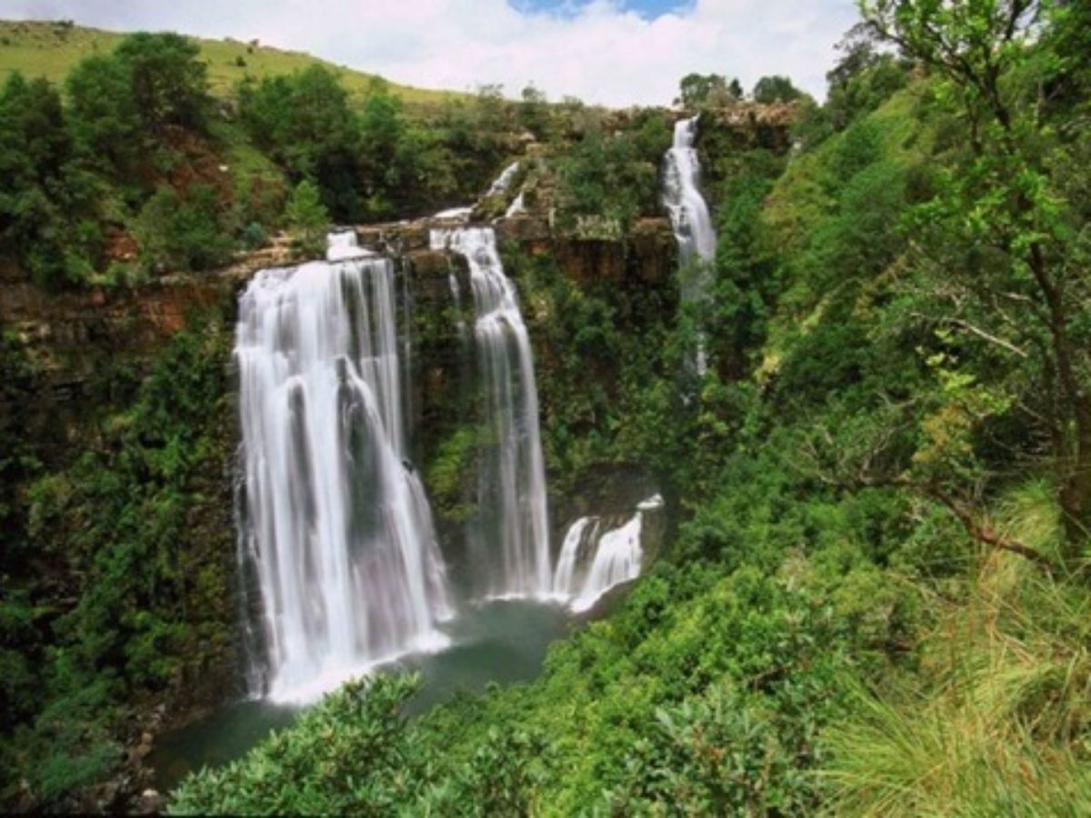
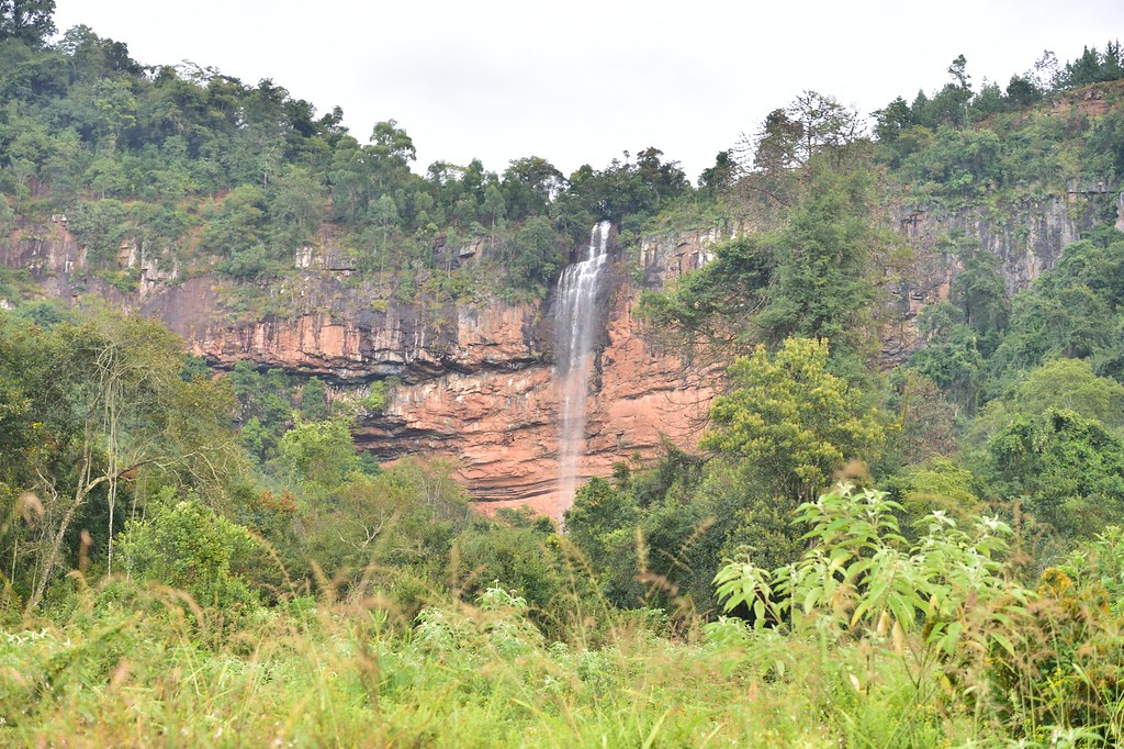
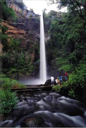
Waterfalls

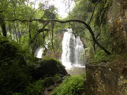
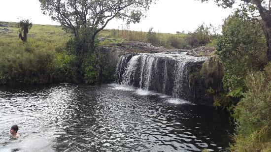
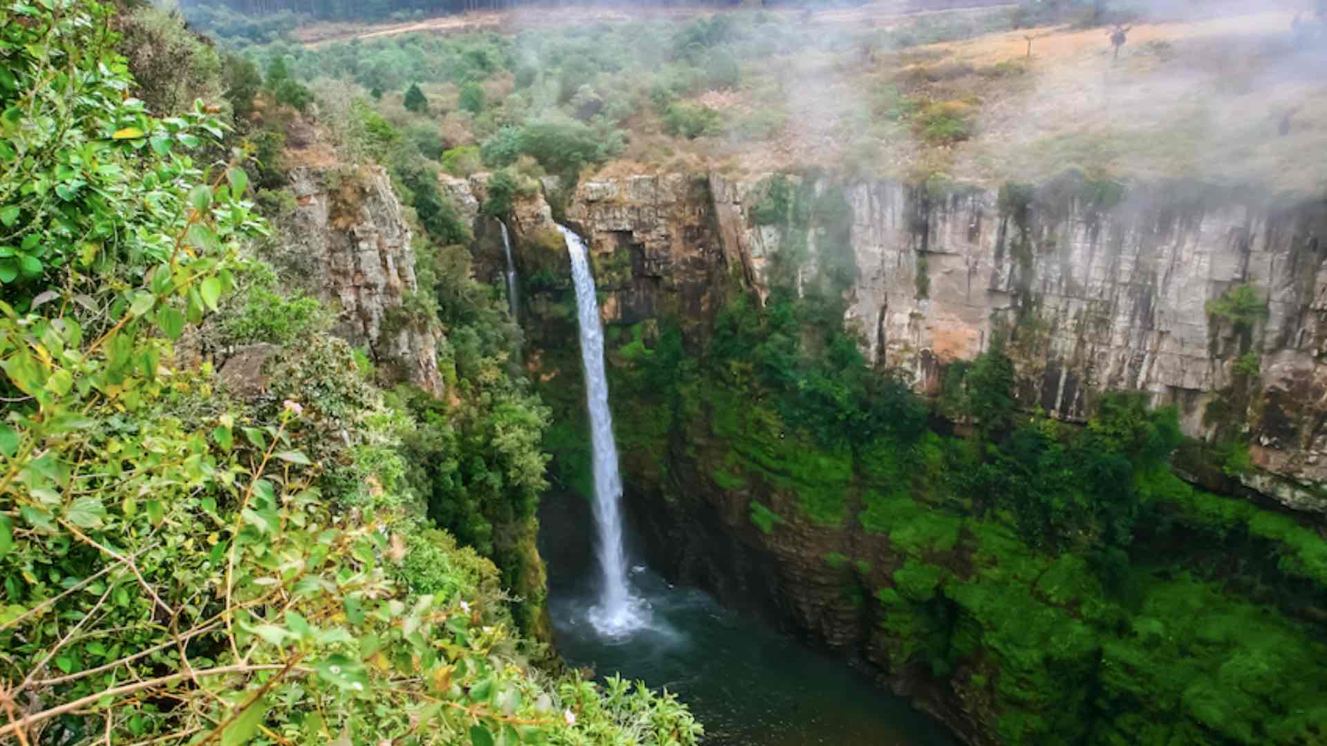
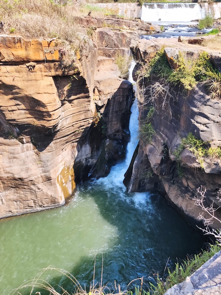
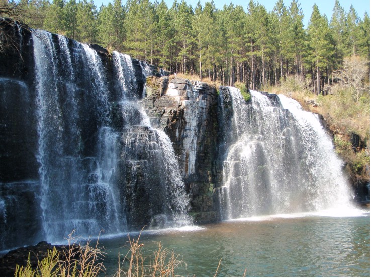
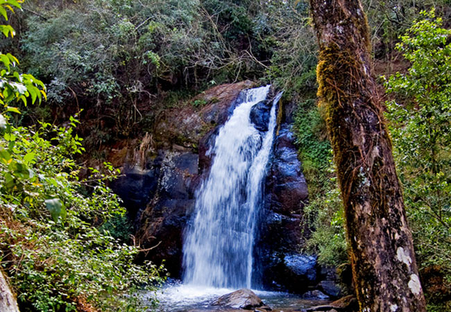
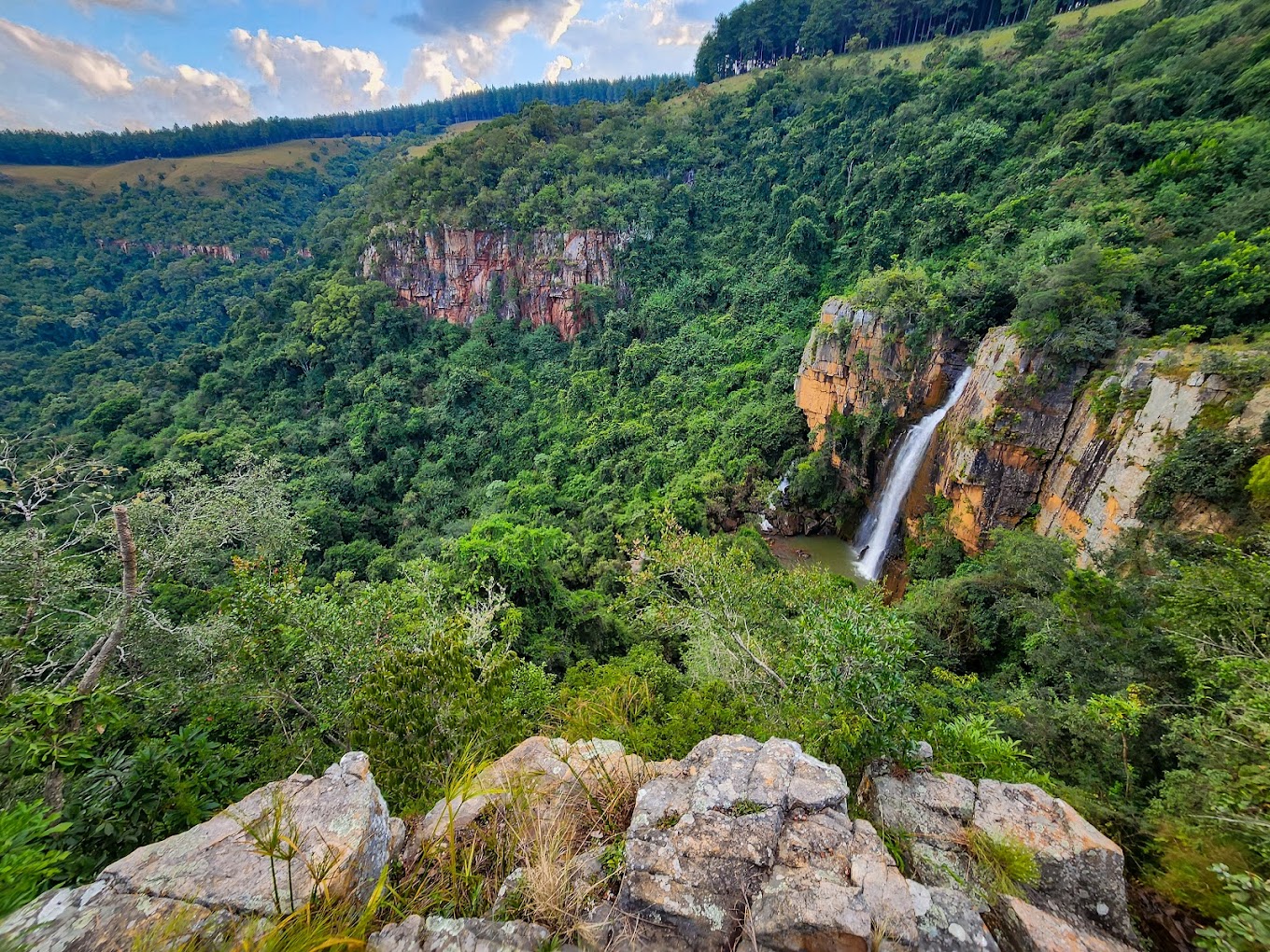
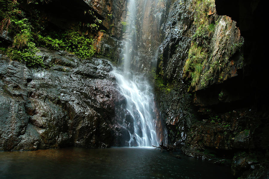
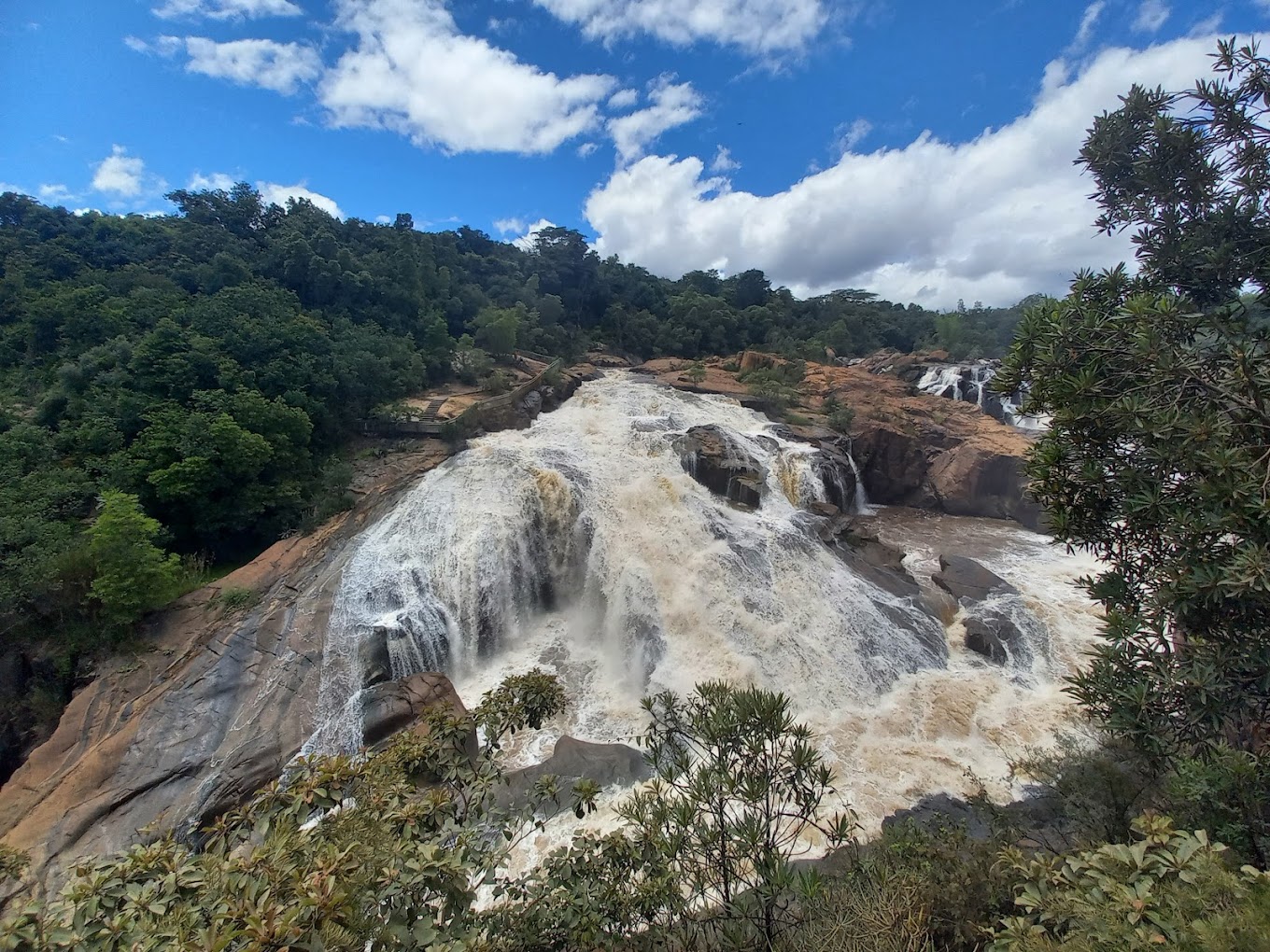
There are several waterfalls on the route. Most of these waterfalls fall under the jurisdiction of the provincial parks boards. They are open to the public, and many are associated with hiking trails.

Berlin Falls

River:  Lisbon River

Nearest town:  Graskop

Height of falls:  80m

Lisbon Falls

River:  Lisbon river

Nearest town:  Graskop

Height of falls:  92m

Bridal Veil Falls

River:  Sabie river

Nearest town:  Sabie

Height of falls:  146m

Lone Creek Falls

River:  Sabie River

Nearest town:  Sabie

Height of falls:  68m

Horseshoe Falls

River:  Sabie river

Nearest town:  Sabie

Mac-Mac Pools

River:  Mac-Mac River

Nearest town:  Sabie

Motitsi Falls

River:  Motitsi River

Nearest town:  Graskop

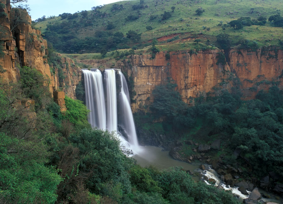
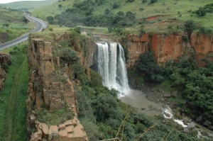
Elandsriver Falls

River:  Elands river

Nearest town:  Waterval Boven

Height of falls:  150m

Mac-Mac Falls

River:  Mac-Mac River

Nearest town:  Graskop

Height of falls:  65m

Sabie Falls

River:  Sabie River

Nearest town:  Sabie

Height of falls:  35m

Forest Falls

River:  Sabie River

Nearest town:  Sabie

Maria Shires Falls

River:  Sabie river

Nearest town:  Sabie

Montrose Falls

River:  Crocodile River

Nearest town:  Nelspruit

Height of falls:  12m

Wonderkloof Falls

River:  Houtbosloop

Nearest town:  Nelspruit

Battery Creek Falls

River:  Battery Creek

Nearest town:  Kaapsehoop

Cascades at Botanical Garden

River:  Nels- and Crocodile Rivers

Nearest town:  Nelspruit

Kadishi Tufa Waterfall

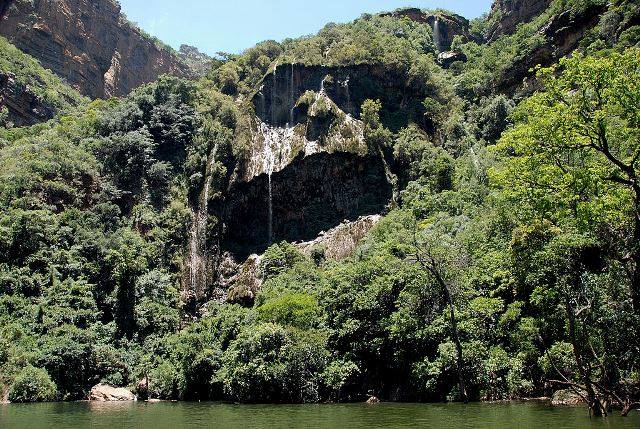
Overshadowed by the intense scenic wonder of the Blyde River Canyon, the canyon's Kadishi tufa waterfall is just as marvellous. Hidden at the end of the Blyde Dam, it is one of few rare living tufa waterfalls in the world and is said to be the second highest tufa waterfall in the world, dropping 200 metres from its limestone shelf to the water of the Blydepoort Dam.

Tufal waterfalls take million of years to form. Water, running over dolomitic rocks, absorbs calcium from the rocks. The mosses that also grow on these rocks draw out carbon dioxide whilst photosynthesising, which causes the calcium in the water to deposit layers of tufa on the surface of the waterfall (a bit like crystalisation of water). The water continues to flow over and underneath the layer of calcium.

Mountain Passes

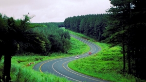
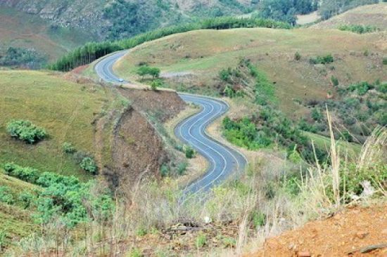
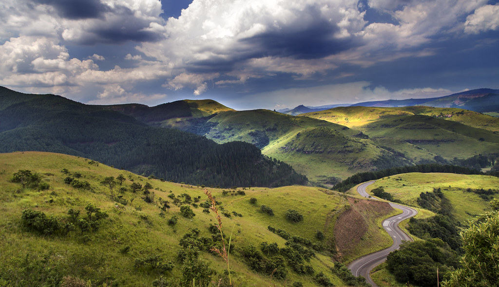
Because the area includes the escarpment between the highveld and lowveld, the aea is home to several scenic mountain passes.

Bergvliet Pass

Connecting towns:  Sabie & Hazyview

Length:  9km

Elevation at summit:  997m

Blyderivierpoort Pass

Connecting towns:  Graskop & Ohrigstad

Length:  23km

Elevation at summit:  1 379m

Bonnet Pass

Connecting towns:  Graskop & Pilgrim's Rest

Length:  5km

Elevation at summit:   1667m

Kiepersol Pass

Connecting towns:  Sabie & Kiepersol

Length:  5km

Elevation at summit:  912m

Koffiehoogte Pass

Connecting towns:  Lydenburg & Sabie

Length:  6km

Elevation at summit:  1 672m

Long Tom Pass

Connecting towns:  Lydenburg & Sabie

Length:  22km

Elevation at summit:  2 138m

Masjiennek Pass

Connecting towns:  Lydenburg & Sabie

Length:  11km

Elevation at summit:  2 090m

Robber's Pass

Connecting towns:  Pilgrim's Rest & Ohrigstad

Length:  26km

Elevation at summit:  1 789m

Montrose Pass

Connecting towns:  Waterval Boven & Mbombela

Length:

Elevation at summit:

Schoemanskloof

Connecting towns:  Bambi & Elandshoek

Length:

Elevation at summit:  1 276m

Kowyn's Pass

Connecting towns:  Graskop & Bushbuckridge

Length:

Elevation at summit:  1 448m

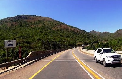
Crocodile Gorge Pass

Connecting towns:  Nelspruit & Kaapmuiden

Length:  20km

Elevation at summit:

Mokobulaan Pass

Connecting towns:  Lydenburg & Sudwala Caves

Length:  9km

Elevation at summit:  1 223m

Elands Pass

Connecting towns:  Waterval Boven & Mbombela

Length: 

Height at summit:

Kaapsehoop Pass

Connecting towns:  Hemlock & Mbombela

Length:

Elevation at summit:

Hilltop Pass

Connecting towns:  Mbombela & Barberton

Length:

Elevation at summit: